Local insights: lawn mowing Mooloolaba between river and sea
Local context
Mooloolaba runs from the Coral Sea on the east to the Mooloolah River on the south, with the beach, the harbour near the river mouth and a network of waterways in between. Sunshine Coast Council lists the Mooloolaba canals as fully tidal and mostly sandy. Even the Spit rests on a bar of Landsborough sandstone overlaid with gravel, sandy sediments and coffee rock.
Common challenges
Sand drains quickly, carrying water and fertiliser past the roots. Lawns facing the canals, river or beach also cop onshore wind and salt, and leaf tips on that exposed side tend to brown first. Wind shifts loose sand from thin patches onto paths and patios.
Why it matters
Housing here is mixed: 47.6% of occupied homes are flats or apartments and 38.5% are separate houses, so most private lawns belong to houses and townhouses, while unit blocks rely on strata garden maintenance. With 41.5% of homes rented and almost one dwelling in five empty on census night, many lawns go weeks without anyone checking them, and thin sandy turf lets weeds in quickly.
Our approach
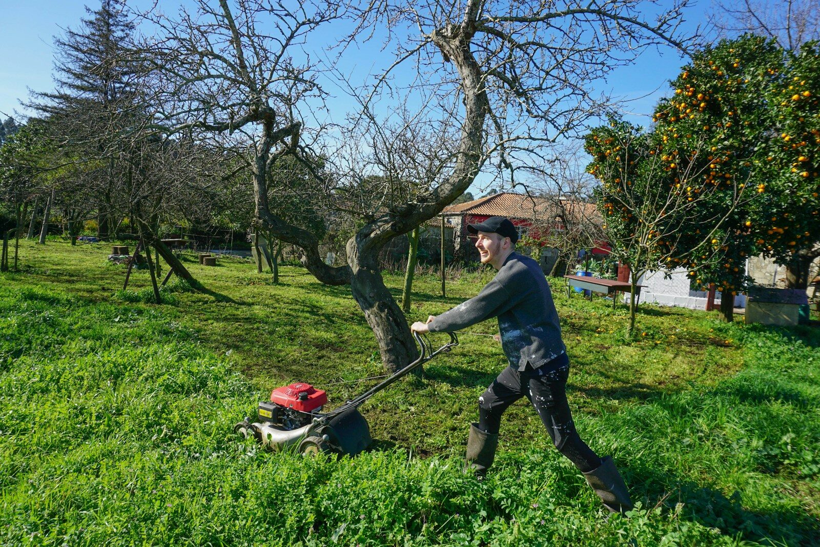
Our lawn mowing Mooloolaba visits keep the cut a little higher in dry spells, edge hard surfaces cleanly and take the clippings away. Where turf is thinning, we flag it early and suggest lawn fertilising before it turns into bare sand.
- 47.6% of occupied homes are flats or apartments Source: ABS 2021 Census QuickStats, Mooloolaba (SAL31895)
- 41.5% of occupied homes are rented Source: ABS 2021 Census QuickStats, Mooloolaba (SAL31895)
- 19.8% of private dwellings unoccupied on census night Source: ABS 2021 Census QuickStats, Mooloolaba (SAL31895)
Sources: ABS 2021 QuickStats, Mooloolaba; Sunshine Coast Council, Canals; Mooloolaba Spit Heritage Trail, natural history; Wikipedia, Mooloolaba